UN
7 East Street
£ 346,000
Description
We don't have a Description for this property.
- Bedrooms
- 0
- Bathrooms
- 0
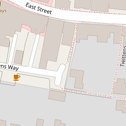
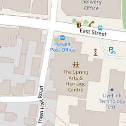

Leaflet © OpenStreetMap contributors
The heatmap indicates the level of crime in the area. The color of the heatmap indicates the crime severity and recency.
Metrics Year-on-Year
- Average area value
- 436,333.00 £Decreased by 35.99 %
- Average area rental value
- 1,469.00 £/moIncreased by 1.10 %
- Est rental Yield
- 4.04 %Increased by 57.81 %
- Crime Rate
- 15.00 %Unchanged by 0.00 %
from 681,667.00 £
from 1,453.00 £/mo
from 2.56 %
from 15.00 %
Nearby Schools
| Name | Type | Ofsted | Distance |
|---|---|---|---|
| Fairfield Infant School | Community School | Good | 0.28 KM |
| Bosmere Junior School | Community School | Good | 0.41 KM |
| Warblington School | Community School | Good | 1.21 KM |
| Trosnant Junior School | Community School | Good | 1.27 KM |
| Trosnant Infant School | Community School | Good | 1.27 KM |
Images
Nearby Streets
| Name | Average Price | Average Sqft | Distance |
|---|---|---|---|
| Prince George Street | £ 0 | 0 | 0.00 KM |
| Park Road South | £ 120,000 | 0 | 0.00 KM |
| New Road Roundabout | £ 330,000 | 0 | 0.00 KM |
| Petersfield Road | £ 0 | 0 | 0.00 KM |
| The Mallards | £ 0 | 0 | 0.00 KM |
Nearby Transport
| Name | NLC | TLC | Distance |
|---|---|---|---|
| Havant | 5532 | HAV | 0.41 KM |
| Warblington | 5264 | WBL | 1.44 KM |
| Bedhampton | 5538 | BDH | 1.78 KM |
| Emsworth | 5257 | EMS | 4.60 KM |
| Rowlands Castle | 5658 | RLN | 5.20 KM |
Nearby Listings
| Address | Price | Type | Score | Distance |
|---|---|---|---|---|
| 21 East Street, Havant | £ 147,500 | BUY | 5 / 10 | 0.05 KM |
| Streets Court, Havant, PO9 | £ 400,000 | BUY | 6 / 10 | 0.13 KM |
| Streets Court, East Street, Havant | £ 400,000 | BUY | 7 / 10 | 0.13 KM |
| Streets Court, East Street, Havant | £ 400,000 | BUY | 7 / 10 | 0.13 KM |
| Streets Court, East Street, Havant | £ 400,000 | BUY | 7 / 10 | 0.13 KM |
Nearby Properties
| Address | Price | Distance |
|---|---|---|
| 13 East Street | £ 295,000 | 0.00 KM |
| 9 East Street | £ 975,000 | 0.00 KM |
| 7 East Street | £ 346,000 | 0.00 KM |
| 31 East Street | £ 80,000 | 0.03 KM |
| 15 Twittens Way | £ 326,000 | 0.04 KM |